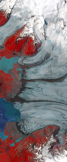
Crevasses and ice streams on Iceland's Breiðamerkurjökull glacier form a crisp capital E in a Landsat image. The letter is beautiful, but it is not fixed: decades of satellite observations show the glacier retreating as Jökulsárlón lagoon expands at its edge.
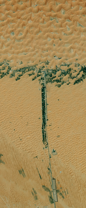
Along the northern edge of the Rub' al Khali, date farms and settlements follow a highway and the arc of Liwa Oasis. Landsat 8 sees their green geometry against pale dunes as a vast letter T—one shaped by people, water, and desert.
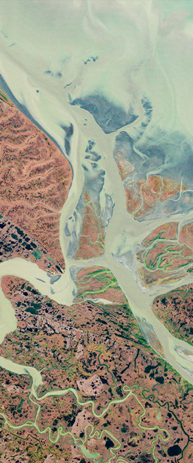
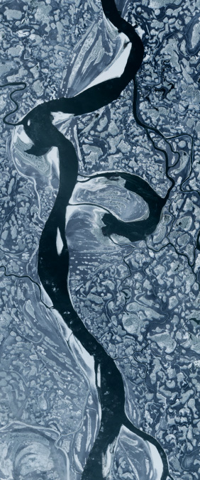
In western Alaska, the Yukon River shatters into hundreds of channels before reaching the Bering Sea — a delta so finely braided that, in winter, frozen tributaries draw the unmistakable bowl of an A across 25,000 km² of tundra. One of the 71 letterforms in Your Name in Landsat.
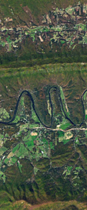
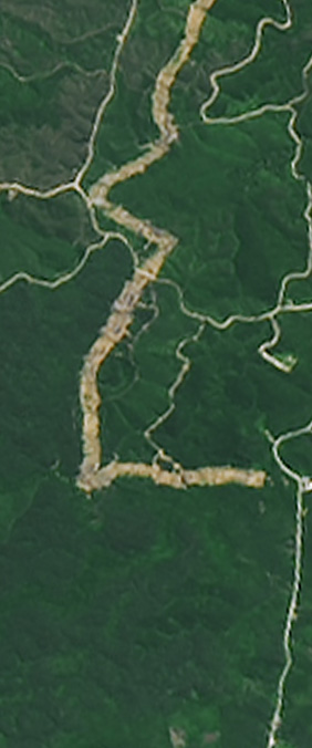
The Shenandoah bends through the Blue Ridge in three near-perfect switchbacks, drawing — from orbit — a lowercase m. The loops were carved over millions of years as the river found the path of least resistance through soft limestone. Featured in Your Name in Landsat.
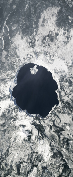
Six miles wide, almost geometrically circular, 594 m deep — Crater Lake fills the caldera left by the violent collapse of Mount Mazama, 7,700 years ago. Landsat sees it as a sapphire eye in the Oregon forest. A perfect O in Your Name in Landsat.
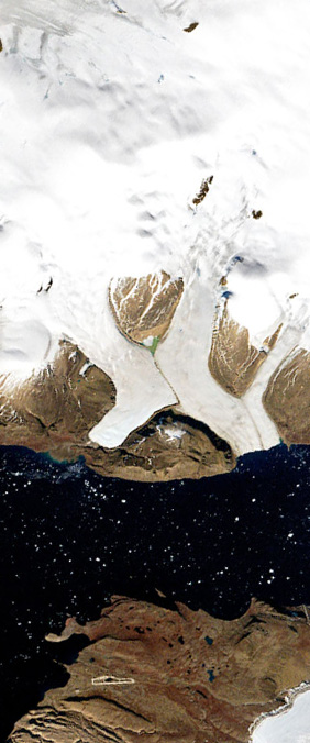
In northwest Greenland, three glaciers converge into Wolstenholme Fjord, their flow lines crossing in a pale, wind-scrubbed X. Landsat has watched this place for fifty years; in that time the ice front has retreated 2.5 km. Part of Your Name in Landsat.
Since 1972, Landsat satellites have orbited Earth every 16 days, capturing multispectral images that reveal far more than the human eye can see. Here's how the program behind Your Name in Landsat works and why it matters.
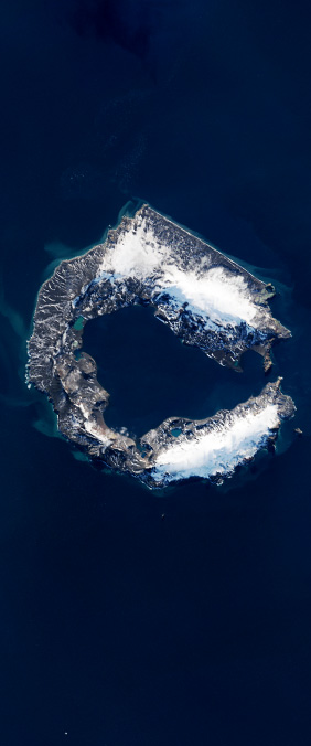
In the South Shetland Islands, a flooded volcanic caldera forms a near-perfect horseshoe — the letter C drawn by catastrophe. Deception Island is one of the few places on Earth where you can sail into an active volcano.
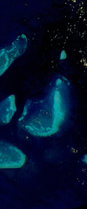
Off the coast of Queensland, Australia, the world's largest coral reef system curves through the Coral Sea in a shape that resembles the letter J. From space, it is a turquoise thread against deep blue. From the water, it is an ecosystem so complex that scientists are still mapping its full biodiversity.
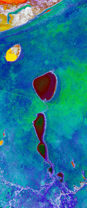
In northern Namibia, a dried lakebed the size of a small country stretches beneath the sun — blinding white, perfectly flat, and shaped like the letter I. The Etosha Pan is one of the largest salt flats on Earth, and Landsat has watched it transform with the seasons for half a century.
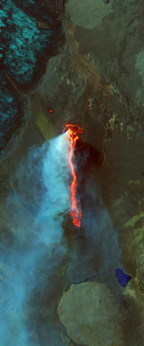
Between August 2014 and February 2015, a fissure eruption in Iceland's interior produced the largest lava flow on the island since 1783. The resulting field — dark, rippled, and shaped like the letter I — is visible from orbit as a fresh scar on an already volcanic landscape.
At the northern edge of Canada, where the Mackenzie River finally surrenders to the Arctic Ocean, it spreads into a delta so intricate that Landsat can read it as a letter P. This is the largest river delta in the Arctic, and it is changing faster than almost any other.