How Landsat Works: The Satellite That Never Stops Looking Down
Since 1972, Landsat satellites have orbited Earth every 16 days, capturing multispectral images that reveal far more than the human eye can see. Here's how the program works and why it matters.
Multispectral Imaging
Unlike a regular camera that captures visible light in three bands (red, green, blue), Landsat sensors capture light across multiple bands including near-infrared, shortwave infrared, and thermal infrared. Each band reveals different information about the surface:
Near-infrared (NIR) reflects strongly off healthy vegetation, making it invaluable for monitoring forests and crops. Shortwave infrared (SWIR) penetrates thin clouds and smoke, and is sensitive to moisture content in soil and vegetation. Thermal infrared measures surface temperature, revealing everything from volcanic activity to urban heat islands.
The OLI and TIRS Sensors
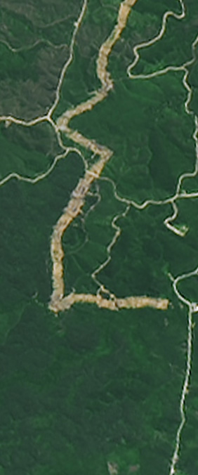
Landsat 8 and 9 carry two instruments: the Operational Land Imager (OLI) and the Thermal Infrared Sensor (TIRS). OLI captures nine spectral bands at 30-meter resolution — meaning each pixel represents a 30 by 30 meter square on the ground. TIRS adds two thermal bands at 100-meter resolution.
This resolution is coarse enough to cover the entire planet efficiently, yet fine enough to distinguish individual fields, roads, and river channels. It's the sweet spot for long-term Earth observation.
An Open Archive
In 2008, the USGS made the entire Landsat archive freely available to the public. Before that, a single Landsat scene cost hundreds or thousands of dollars. Today, anyone with an internet connection can download over fifty years of Earth imagery — more than 10 million scenes and counting.
This openness has transformed science. Researchers use Landsat to track deforestation, map urban growth, monitor drought, measure glacier retreat, and manage water resources. The data has been cited in over 100,000 peer-reviewed publications.
From Science to Art
Our letterform alphabet is, in a sense, the most frivolous use of Landsat data imaginable. And yet it serves a purpose: it introduces people to the archive who might never otherwise look at a satellite image. When someone types their name and sees it spelled in glaciers and river deltas, they are — however briefly — connecting with fifty years of Earth observation. That connection, however playful, is real.